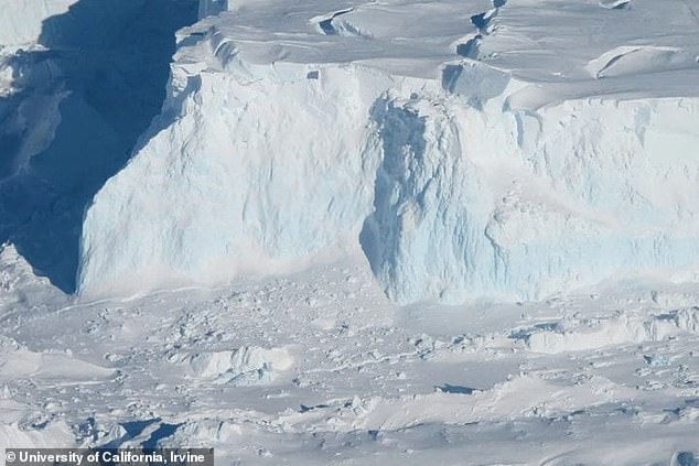
Antarctica’s ‘Doomsday Glacier,’ nicknamed for its ability to increase sea levels by nearly two feet, is breaking apart ‘much faster’ than previously believed.
Formally known as the Thwaites Glacier, researchers at the University of California (UC) discovered that warm seawater flows miles beneath – causing ‘vigorous melting.’
The team used satellites and radar technology to track changes in surface elevation, finding the water had lifted parts of the glacier by around seven miles.
The findings could require a reassessment of global sea level rise projections, as researchers have predicted Thwaites could retreat up to two miles each year under the intrusion of warm seawater.

Antarctica’s ‘Doomsday Glacier,’ nicknamed for its ability to increase sea levels by nearly two feet, is breaking apart ‘much faster’ than previously believed
Co-author Christine Dow, professor in the Faculty of Environment at the University of Waterloo in Ontario, Canada, said in a statement: ‘Thwaites is the most unstable place in the Antarctic and contains the equivalent of 60 centimeters [1.9 feet] of sea level rise.
‘The worry is that we are underestimating the speed that the glacier is changing, which would be devastating for coastal communities around the world.’
Data from National Oceanic and Atmospheric Administration shows that an excess of two feet in sea levels would submerge many of America’s coastal cities, including Miami, New York City and New Orleans.
The team used data gathered from March to June 2023 by Finland’s ICEYE commercial satellite mission, which showed the rise, fall and bending of Thwaites Glacier.
Lead author Eric Rignot, professor of Earth system science, said: ‘These ICEYE data provided a long-time series of daily observations closely conforming to tidal cycles.
‘In the past, we had some sporadically available data, and with just those few observations it was hard to figure out what was happening.
‘When we have a continuous time series and compare that with the tidal cycle, we see the seawater coming in at high tide and receding and sometimes going farther up underneath the glacier and getting trapped.’

Data from National Oceanic and Atmospheric Administration shows that an excess of two feet in sea levels would submerge many of America’s coastal cities, including Miami, New York City and New Orleans

The team used satellites and radar technology to track changes in surface elevation, finding the water had lifted parts of the glacier by around seven miles. The satellite images (pictured) captured the warm seawater flowing under the glacier like a tide coming in and out
The team determined that the seawater was entering from the base of the ice sheet and combined with freshwater generated by geothermal flux and friction, builds up and ‘has to flow somewhere.’
The water is then distributed through natural conduits or collects in cavities, creating enough pressure to elevate the ice sheet.
‘There are places where the water is almost at the pressure of the overlying ice, so just a little more pressure is needed to push up the ice,’ Professor Rignot said.
‘The water is then squeezed enough to jack up a column of more than half a mile of ice.’
Researchers have been monitoring the impact of climate change on ocean currents for decades, finding evidence that warmer seawater is being pushed to the shores of Antarctica and other polar regions.
West Antarctica, where the ‘Doomsday Glacier sits,’ has specifically experienced warming over the last 50 years.
Previous studies have found that increased temperatures is warming oceans, making them less cold and less likely to sink.
Without sinking cold water, ocean currents can slow down or stop in one place, which could explain why the warmer seawater is not quickly moving through Antarctica.


